
View the complete Peddars Way photo gallery.
Peddars Way is an ancient trackway that runs in a northwesterly direction from the Breckland area north east of Thetford to Holme-next-the-Sea on the north Norfolk coast. Today the route is part of an interconnected series of national trails and is connected with the Icknield Way, Weavers Way and Angles Way amongst others.
Most of the route can be ridden and is reasonably well way marked. For anyone with an interest in archaeology and history this is a fascinating route to travel, starting near Grimes Graves and travelling to the coast where Seahenge was recently excavated, a number of other notable sites are passed, including Castle Acre.
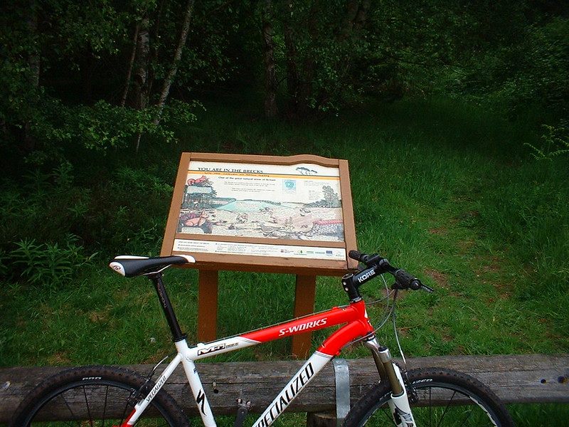
The start of the cycling section begins on Bridgham Heath. After two short sections of trail with crossings for the A11 and the railway, for much of the early part of its length the route is through the forest plantations on fire roads. After some distance these wider trails narrow to less used tracks.
The trail soon spits out into Stonebridge, where there is a brief climb up the A1075, before bearing left and up Woodcock Hill, The brief road section ends with a fork off to the right (this is easy to miss as the signpost is obscured by undergrowth).

This next section of fire road passes Thompson Water, follows along the edge of the military training area and continues to Shaker’s Furze. Here the Way continues as a fine section of singletrack for those on foot, so it’s a detour through Thompson and up towards Merton. At the entrance to Merton Hall estate, turn left and follow the main fire road westwards to the crossroads below Home Farm to rejoin the Way. Turn right here and pass the farm. At the next crossroads the Way is signposted, turn left and trail joining onto the B1108.
This marks the beginning of a lengthy road section. Follow the Way through Little Cressingham, towards South Pickenham. About five hundred metres after the crossroads with the B1077 there is a bridleway that breaks the monotony of the road sections to the left. Descend down the trail, through the gate and cross the field to the ridable ford. After crossing continue through the next gate and straight across the ‘field of the bull’ to the gate into Home Farm.
Turn right and ride up towards North Pickenham. On arrival in the village turn left and follow the road until the next T-junction. Here leave the road and continue up Peddars Way via a tree-lined path. This off road section then leads to the crossing of the A47 to the east of Swaffham.
This is a good opportunity to replenish supplies if you need to – turn left (right on the return leg) and follow the main road down to the roundabout where a well-stocked petrol station shop and a McDonalds offer two chances to stock up on food and drink – either way this is the best time to get the next map out.

From here on the route becomes increasingly undulating. Follow the road past Grange Farm and over the bridge above the disused railway. Turn right at the junction and then left back onto an off road section of the Way. Pass through Palgrave Hall to the road junction.
The original line of the Way has been lost between here and just north of Castle Acre, so the road skirts Hungry Hill. Follow it to the crossing with the A1065 after which the road then climbs briefly, before beginning the descent down into the Nar valley where the ruins at Castle Acre soon become visible.
At the bottom of the hill the road bears to the left, but you want to take head straight on along a road with a ford unsuitable for motors. The ford here offers a good view of the ruined Priory and is a challenge to ride (a footbridge is offered as an alternative). After the crossing it’s a brief jaunt up the Hill into the village. If you can hold out, until this point it’s a much nicer place to make a stop.
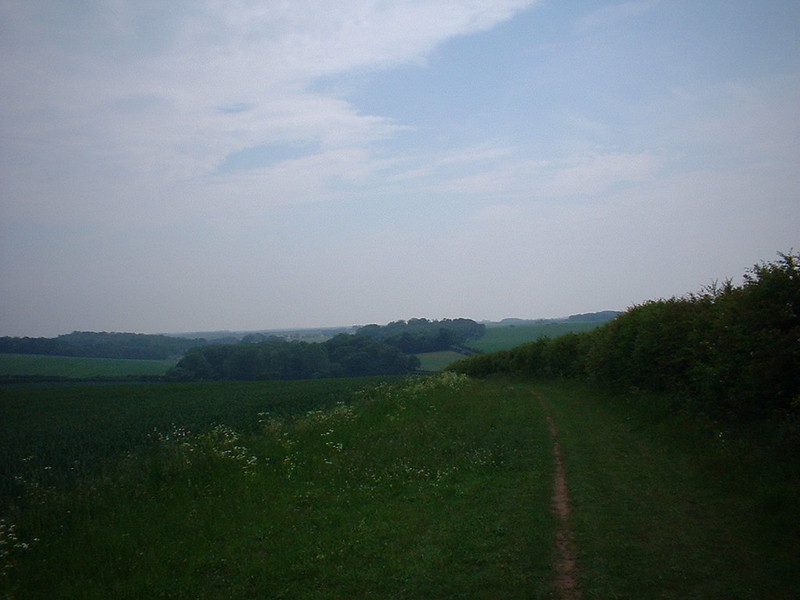
Pass the Bailey Gates and follow the main road through the village out past the water tower on your right. A straight road section then takes you out onto Massingham Heath passing the route of a new gas pipeline under construction. The off road section recommences at a right hand bend and is clearly marked. A long and scenic stretch of the way traverses open fields until eventually descending to cross the A148. Cut straight across the verge and the road and continue straight over and up onto Harpley Common.
The Roman association with the Way is obvious from here on as you make a bee-line for the coast along a dead straight route. At Fring crossroads, just after the fast descent to the ford, the Way becomes a public footpath although this is not clearly marked.
The bike route turns to the left and heads along the roads into Sedgeford, this diversion does save you having to ride up the biggest climb of the whole route. The Way can be rejoined if you hang a right just past the old railway line and follow the roads to Neat’s Ling, which rejoins the way just south of Ringstead.
After Ringstead the path turns left and runs along a few field boundaries, this footpath has some nice singletrack sections to it and is well ridden by horses, but is out of bounds.
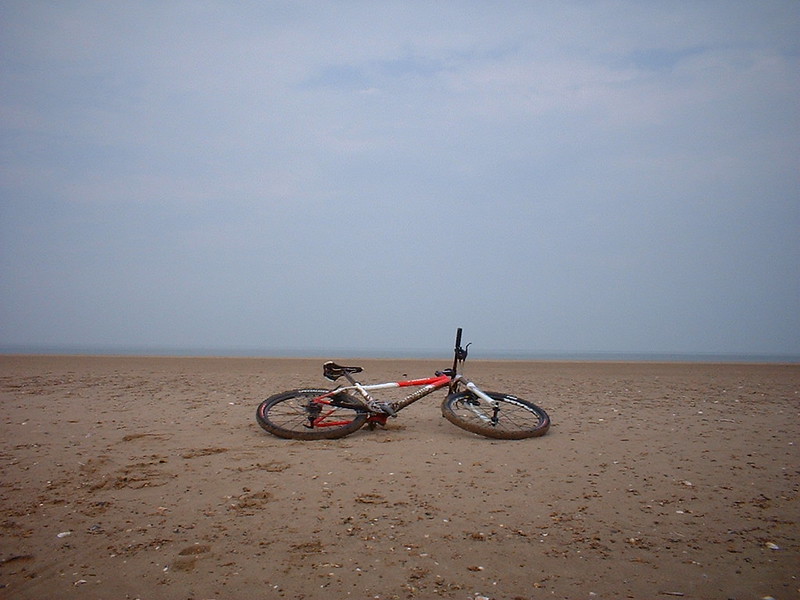
The legal route follows the road down the hill into Holme-next-the-Sea. At Holme, the last section to the sea is quite a slog if you fancy a paddle. It’s only once you’ve crossed over the dunes that you realise just how big the beach is.
For those that make the trip out to the waves the view back towards land is quite rewarding, with the sudden rise of the cliffs near Hunstanton visible to the west. The immediate beach area is currently eroding ancient peat beds (a few lumps of peat are usually seen strewn on the beach) so the sands are far from golden, but improve eastwards.
Holme provides a chance to recover and recuperate and this is aided by the White Horse, a rather nice pub with real ale on tap, good food, friendly service and a great big beer garden with lots of benches. An alternative is to return to Ringstead and investigate the pub and facilities there. Then all that’s left is to ride all the way back.
This year has been a bit different. After riding the same trails for such a long time I’ve felt a need to get out and ride in different places and try and get a bit more variety. This year there’s no Mountain Mayhem entry, instead talk of doing a Coast-to-Coast ride instead and the Singlespeed championships for the first time. Then the idea to do something in preparation came up and Peddars Way was suggested. In the end my partner in crime wasn’t feeling to well so I ended up doing the route solo.
I parked in the free car park on Bridgham Heath which is just adjacent to the Way. It took three hours to get to Holme, but four hours to get back due to punctures and a nasty headwind. The route is not pleasant if you are against the wind as large sections leave you exposed to it. Most of the route is freely draining and suitable for semi-slicks which make life a lot easier on the road. Also take some chain lube as the dusty trails soon leave your bike sounding like a Sherman tank.
Notes: Total distance is about 100 miles for the above route. Ordnance Survey Landranger Maps 132 & 144 cover the necessary areas. Useful links and basic maps:
Cycling Peddars Way | Route for Horse riders | More on the Bridleways
